Bidding on this auction has not started.

Please register now so you are approved to bid when auction starts.
This auction is open!

It is now possible to bid at this auction.

This auction is closed!

It is no longer possible to bid at this auction.

You are registered for this auction

You are now approved to bid at this auction.

Your auction registration is now pending

You have successfully registered for this auction, pending approval to bid. Please check your email for further information.

Your auction registration has been declined

Please contact the auctioneer for more information.

Gentleman's Library Timed Auction (To Include a Large Collection of Maps) - Ending 26th September
Timed
Venue address
19 Charles Ind. Estate
Stowmarket, Suffolk
IP14 5AH
United Kingdom
Gentleman's Library Timed Auction (To Include a Large Collection of Maps) - Ending 26th September

Gentleman's Library Timed Auction (To Include a Large Collection of Maps) - Ending 26th September

Auction dates
Starts: 19 Aug 2021 15:00 BST
Ends from: 26 Sep 2021 17:00 BST
Viewing dates
22 Sep 2021 09:30 - 16:00 BST
23 Sep 2021 09:30 - 16:00 BST
Auction currency
GBP
Accepted cards
We found 315 items matching your search
Primary Category
Category
Brand
Item Type
Sale Section
Sorted by
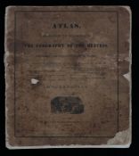
Elijah H. Burritt, "Atlas designed to illustrate the geography of the heavens", published Huntington
40 GBP
30 - 50 GBP
Estimate
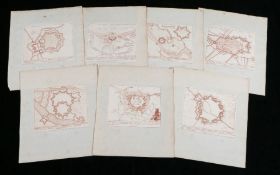
Peter Schenk, seven maps depicting forts, to include Winochs-Bergen, Stevens-Waart, Kiesterswaart,
20 GBP
30 - 50 GBP
Estimate
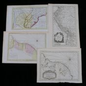
Four French maps, "Carte du Paraguay", "Carte de la Guyane", "Carte de la Guiane", "Carte du
0 GBP
20 - 30 GBP
Estimate
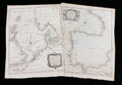
Tindal, two ocean charts, "A Correct Chart of the German Ocean...", "A Correct Chart of the Bay of
10 GBP
20 - 30 GBP
Estimate
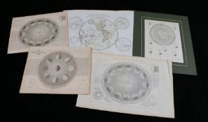
Celestial and other charts, to include "Astronomy fig.6 The motion of Venus and Mercury in respect
10 GBP
20 - 30 GBP
Estimate
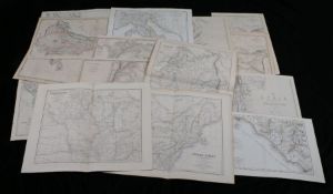
Collection of fifteen world maps, to include The Dispatch Atlas, Afghanistan, Syria, Central
15 GBP
20 - 30 GBP
Estimate
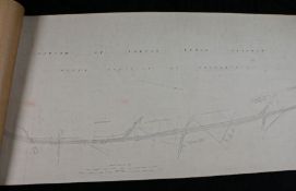
Railwayana- railway line plan, "Parish of Norton under Cannock Urban District of Brownhills, scale 2
0 GBP
50 - 70 GBP
Estimate
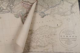
A. Arrowsmith, "Map exhibiting the great post roads, physical and political divisions of Europe",
25 GBP
10 - 20 GBP
Estimate
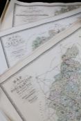
C & J Greenwood, county maps to include Northampton, Leicester, Stafford, Northumberland, Worcester,
20 GBP
20 - 30 GBP
Estimate
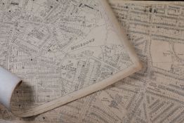
Two Moordown, Bournemouth Ordnance Survey street maps, 1/1250 scale, 71cm x 102cm
5 GBP
10 - 20 GBP
Estimate
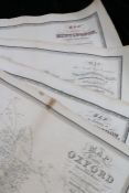
C & J Greenwood, county maps to include Oxford, three Huntingdon, York, two Worcester, Nottingham,
15 GBP
20 - 30 GBP
Estimate
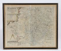
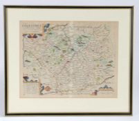
Christopher Saxton/William Kip, an early 17th century hand-coloured map engraving, "WARWICI -
10 GBP
20 - 30 GBP
Estimate
Christopher Saxton/William Kip, an early 17th century hand-coloured map engraving, "Lecestriae -
10 GBP
20 - 30 GBP
Estimate
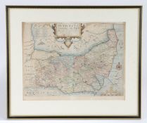
Christopher Saxton, an early 17th century hand-coloured map engraving, "Suffolclae comitatus cuius
35 GBP
20 - 30 GBP
Estimate
Arron Arrowsmith, Outlines of the World, 1840, engraved title and dedication, forty-four coloured
260 GBP
200 - 400 GBP
Estimate